
Census division tutorial, part 1

Archived Content
Information identified as archived is provided for reference, research or recordkeeping purposes. It is not subject to the Government of Canada Web Standards and has not been altered or updated since it was archived. Please "contact us" to request a format other than those available.
Part 1 of 2 | Next
Census divisions have been established in provincial law in 6 of the 10 provinces to facilitate regional planning, as well as the provision of services that can be more effectively delivered on a scale larger than a municipality.
In Newfoundland and Labrador, Manitoba, Saskatchewan, Alberta, Yukon, Northwest Territories and Nunavut, provincial and territorial law does not provide for these administrative geographic areas. Therefore, Statistics Canada, in cooperation with these provinces and territories, has created equivalent areas called census divisions for the purpose of disseminating statistical data.
Census divisions provide an intermediate level of geography between the province and the census subdivision
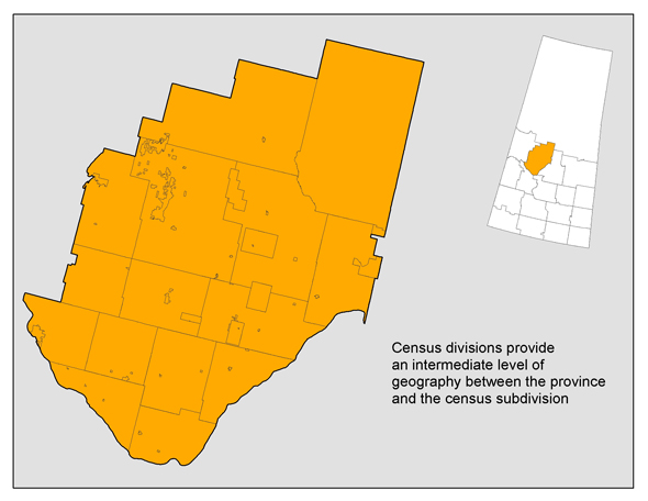
Source: Statistics Canada, Geography Division, 2011 Census of Population
- Date modified: