
Reference map tutorial, part 1

Archived Content
Information identified as archived is provided for reference, research or recordkeeping purposes. It is not subject to the Government of Canada Web Standards and has not been altered or updated since it was archived. Please "contact us" to request a format other than those available.
Part 1 of 10 | Next
A brief guide to reading maps
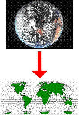
A map, like a picture, is worth a thousand words. A map is a simplified view of the earth's surface that shows where places and things are located and helps us communicate that spatial information efficiently. In this section you will learn more about maps and how to read them.
Statistics Canada primarily produces two types of maps: reference maps and thematic maps.
- Date modified: