
CMA and CA tutorial, part 2

Archived Content
Information identified as archived is provided for reference, research or recordkeeping purposes. It is not subject to the Government of Canada Web Standards and has not been altered or updated since it was archived. Please "contact us" to request a format other than those available.
Census metropolitan areas (CMA) and census agglomerations (CAs) are groups of one or more adjacent municipalities (CSDs) that are centred on and have a high degree of integration with a large population centre, known as the core. The term 'population centre' replaces the term 'urban area' for the 2011 Census.
A CMA or CA is delineated using adjacent CSDs as building blocks. These are included in the CMA or CA if they meet at least one of the following rules, which are ranked in order of priority:
- Core rule
- Forward commuting flow rule
- Reverse commuting flow rule
- Spatial contiguity rule
- Historical comparability rule
The rest of this tutorial illustrates how each of these rules is applied and how CSDs are added to a CMA and CA.
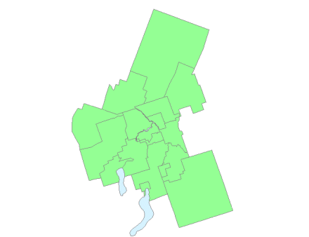
Example of census subdivisions to be evaluated in census metropolitan area and census agglomeration delineation
- Date modified: