
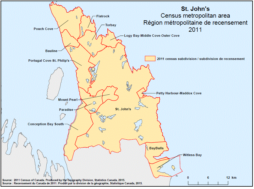
Geographical map of the 2011 Census metropolitan area of St. John’s, Newfoundland and Labrador. The following Census subdivisions are listed within this region: Bauline, Bay Bulls, Conception Bay South, Flatrock, Logy Bay-Middle Cove-Outer Cove, Mount Pearl, Paradise, Petty Harbour-Maddox Cove, Portugal Cove-St. Philip’s, Pouch Cove, St. John’s, Torbay, Witless Bay.
Source: 2011 Census of Canada. Produced by the Geography Division, Statistics Canada, 2015.