
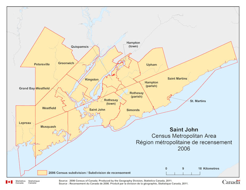
Geographical map of 2006 Census Metropolitan Area of Saint John, New Brunswick. The following Census subdivisions are listed within this region: Grand Bay-Westfield, Greenwich, Hampton, Kingston, Lepreau, Musquash, Petersville, Quispamsis, Rothesay, Saint John, Saint Martins, Simonds, St. Martins, Upham, Westfield.
Source: 2006 Census of Canada. Produced by the Geography Division, Statistics Canada, 2011.