
Montréal 3
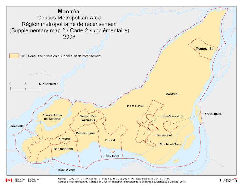
Geographical map of 2006 Census Metropolitan Area of Montréal, Quebec – map 3 of 3. The following Census subdivisions are listed within this region: Baie-d’Urfé, Beaconsfield, Côte-Saint-Luc, Dollard-des Ormeaux, Dorval, Hampstead, Kirkland, L’Île-Dorval, Montréal, Montréal-Est, Montréal-Ouest, Mont-Royal, Pointe-Claire, Sainte-Anne-de-Bellevue, Senneville, Westmount.
Source: 2006 Census of Canada. Produced by the Geography Division, Statistics Canada, 2011.