Geographical map of 2006 Census Metropolitan Area of Thunder Bay, Ontario

Archived information

Archived information is provided for reference, research or recordkeeping purposes. It is not subject to the Government of Canada Web Standards and has not been altered or updated since it was archived. Please "contact us" to request a format other than those available.

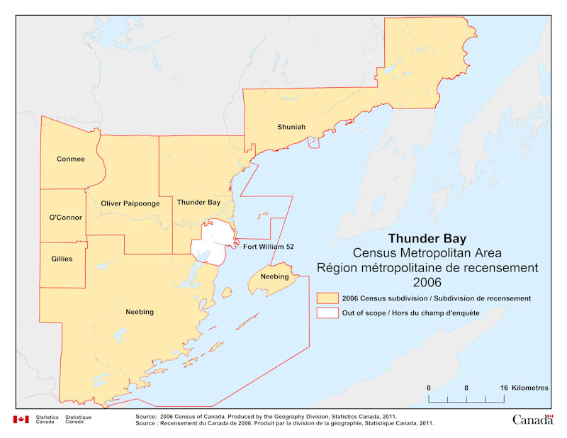
Geographical map of 2006 Census Metropolitan Area of Thunder Bay, Ontario. The following Census subdivisions and Out of scope are listed within this region:

Census subdivisions: Conmee, Gillies, Neebing, O’Connor, Oliver Paipoonge, Shuniah, Thunder Bay.

Out of scope: Fort Williams 52.

Source: 2006 Census of Canada. Produced by the Geography Division, Statistics Canada, 2011.

Date modified: