
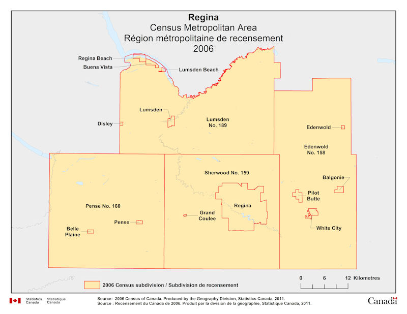
Geographical map of 2006 Census Metropolitan Area of Regina, Saskatchewan. The following Census subdivisions are listed within this region: Balgonie, Belle Plaine, Buena Vista, Disley, Edenwold, Edenwold No. 158, Grand Coulee, Lumsden, Lumsden Beach, Lumsden No. 189, Pense, Pense No. 160, Pilot Butte, Regina, Regina Beach, Sherwood No. 159, White City.
Source: 2006 Census of Canada. Produced by the Geography Division, Statistics Canada, 2011.