
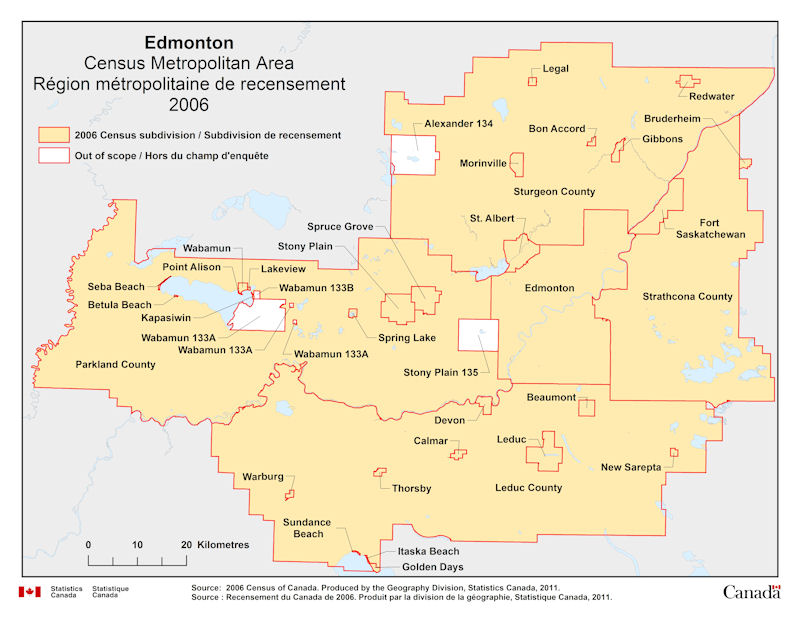
Geographical map of 2006 Census Metropolitan Area of Edmonton, Alberta. The following Census subdivisions and Out of scope are listed within this region:
Census subdivisions: Beaumont, Betula Beach, Bon Accord, Bruderheim, Calmar, Devon, Edmonton, Fort Saskatchewan, Gibbons, Golden Days, Itaska Beach, Kapasiwin, Lakeview, Leduc, Leduc County, Legal, Morinville, New Sarepta, Parkland County, Point Alison, Redwater, Seba Beach, Spring Lake, Spruce Grove, St. Albert, Stony Plain, Strathcona County, Sturgeon County, Sundance Beach, Thorsby, Wabamun, Warburg.
Out of scope: Alexander 134, Stony Plain 135, Wabamun 133A, Wabamun 133B.
Source: 2006 Census of Canada. Produced by the Geography Division, Statistics Canada, 2011.