

Outside of evergreen trees, such as pine and fir, and lawns, if they are not already covered by snow, you won’t find much “green” in most Canadian cities come mid-November. However, three short months ago, during the height of summer, just under three-quarters (74.1%) of the land area of 1,016 cities and towns across Canada was classed as green, up slightly from a year earlier but down 7.9 percentage points from the beginning of the millennium.
Survey from the sky
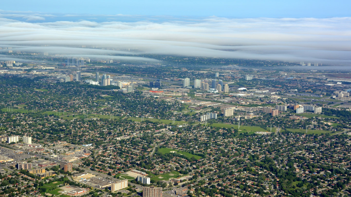
Statistics Canada is renowned for taking the pulse of the nation by asking Canadians questions. However, when it comes to measuring the environmental health of Canadian cities, we rely on satellite imagery data rather than communing with nature.
By measuring the level of greenness in Canadian cities and towns through satellite imagery during the height of summer, we can track the health of our urban environment—where over four in five Canadians live—over time.
Vegetation in urban centers contributes to more livable, beautiful communities by helping to clean the air, moderate the local climate, control water flow and provide habitat for animals, insects and birds.
Unlike in Spain, the rain in Canada falls mainly on the coasts
Rain, or lack thereof, is perhaps the most important factor when it comes to urban greenness in Canada in any given year. Indeed, among the provinces, Canada’s greenest towns and cities are generally located in rain-rich Atlantic Canada, Quebec, British Columbia, and to a lesser extent, Ontario. Conversely, the Prairies receive much less rain than the rest of the country on average, and therefore, their cities and towns generally score much lower on the urban greenness scale.
Meanwhile, the increase in urban greenness in Canada in 2023 was almost entirely due to more rain in Ontario following a severe drought in 2022.
In the summer of 2023, Kanata, Ontario (98.2%); Saint-Jérôme, Quebec (95.4%); Gatineau, Quebec (92.8%); and St. John's, Newfoundland and Labrador (91.9%), were Canada’s “greenest cities” in terms of vegetation, while Saskatoon, Saskatchewan (23.9%); Calgary, Alberta (25.9%); and Regina, Saskatchewan (35.0%), scored lowest on the “green” scale, mostly because of dry summer conditions.
Longer term decline in urban greenness likely linked to population growth
Other factors that affect urban greenness include population growth and urban density, as well as rapidly expanding suburbs on the periphery of major cities. Looking at five-year averages of “greenness” in Canadian towns and cities removes some of the fluctuations associated with changing weather conditions from one year to the next.
Milton, Ontario, a bedroom community located just west of Toronto, is perhaps the clearest example of the effects of population growth on urban greenness. When we conducted the 2001 Census, 31,471 people called Milton home and just under four-fifths (79.9%) of the landscape was deemed green from 2000 to 2004.
At the time of the 2021 Census, the population living in the Town of Milton had over quadrupled to 132,979, while the greenness of the community had fallen by almost one-third to 47.4% during the most recent five-year average (2019 to 2023).
From 2000 to 2023, the average urban greenness in Canadian cities and towns fell by 7.9 percentage points overall, while the population of the country has grown by almost one-third (30.7%).
Happy Geographic Information System Day!
November 15 marks Geographic Information System (GIS) Day, an annual event held since 1999 during Geography Awareness Week, to celebrate and promote GIS technology. This Geography Awareness Week, we celebrate the Power of Place, emphasizing the importance of geography in understanding our world and our shared responsibility to care for places together.
This release relies on the use of GIS software to generate statistics from the analysis of satellite imagery and Statistics Canada’s boundary files, allowing users to visualize spatial patterns, relationships and trends. This process adds an entirely new perspective to data analysis, one which may not be readily apparent if the data are presented in a table or list format.
StatsCAN app
Download the StatsCAN app today to have these articles at your fingertips! Already using the app? Leave a review in the Apple App Store and Google Play and let us know what you think.
Contact information
For more information, contact the Statistical Information Service (toll-free 1-800-263-1136; 514-283-8300; infostats@statcan.gc.ca) or Media Relations (statcan.mediahotline-ligneinfomedias.statcan@statcan.gc.ca).