
Map 1.1
Census metropolitan areas (CMAs), 2011
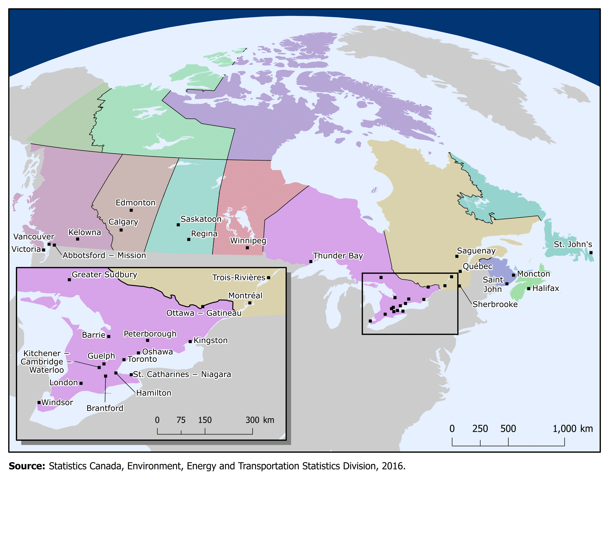
Description of Map 1.1
The title of this map is Census metropolitan areas (CMAs), 2011. This map has two components—a large map showing the locations of CMAs across Canada and an inset map zoomed into Southern Ontario showing the CMAs in this region.
On this map, the provinces are represented by different colours in order to define the provincial boundaries. Small black dots are used to mark the location of each CMA along with the CMA name. In Southern Ontario there are a large number of CMAs within a small area and the inset is used to help distinguish between the CMAs in this area.
Source: Statistics Canada, Environment, Energy and Transportation Statistics Division, 2016.
- Date modified: