
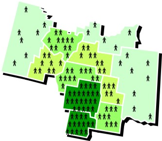
Population density

Archived Content
Information identified as archived is provided for reference, research or recordkeeping purposes. It is not subject to the Government of Canada Web Standards and has not been altered or updated since it was archived. Please "contact us" to request a format other than those available.
Detailed definition
Population density is the number of persons per square kilometre.
Censuses
2011, 2006, 2001, 1996, 1991, 1986, 1981, 1976, 1971, 1966, 1961
Remarks
The calculation for population density is total population divided by land area. The data are available for all standard geographic areas.
Population density data support a variety of applications, such as delineating population centres, determining the population ecumene, as well as spatial analysis.
Refer to related definitions of ecumene; land area and population centre (POPCTR).
Changes prior to the current census
Prior to 2001, population density data were available for all standard geographic areas, except enumeration areas (EAs) and federal electoral districts (FEDs).
For 1976, population density data were expressed in both square kilometres and square miles.
Prior to 1976, population density data were expressed in square miles only.
- Date modified: